i-Boating:Marine Navigation Maps & Nautical Charts

i-Boating:Marine Navigation Maps & Nautical Charts

पैकेज:
com.skiracer.nautical_astore_lite
डाउनलोड:
500K
आकार:
25 MB
Android आवश्यक है:
4.0 और बाद वाले वर्शन
अपडेट किया गया:
04 अक्तूबर 2020
7,1K
नवीनतम संस्करण:
160
आयु:
हर कोई
निःशुल्क डाउनलोड

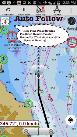
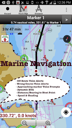
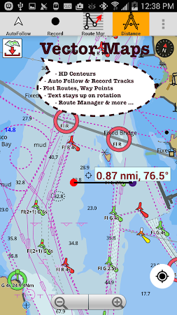
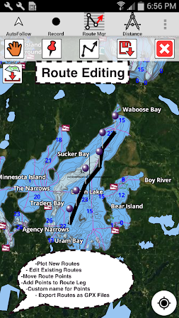
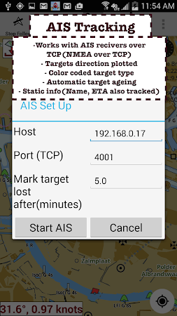
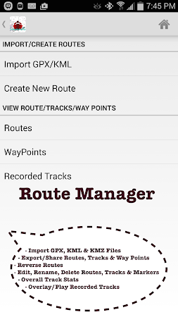
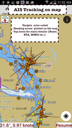
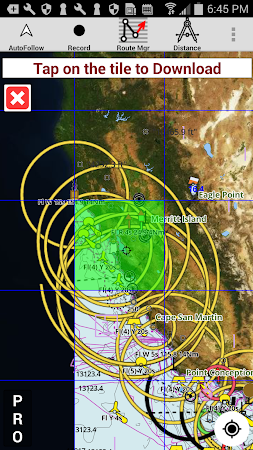
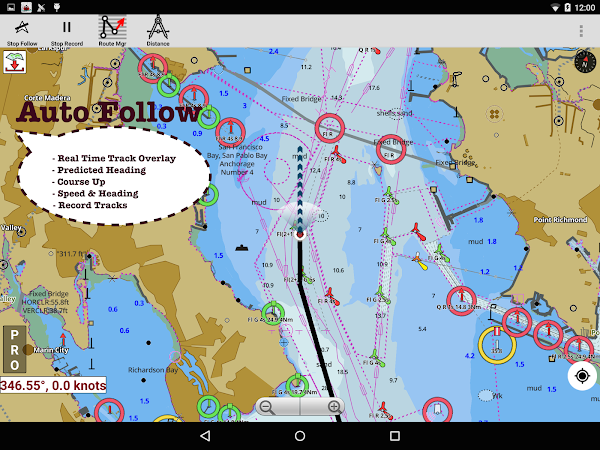
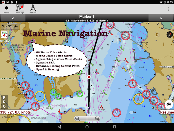
This Marine Charts App offers offline nautical charts, inland river navigation charts, and lake contour maps for kayaking, yachting & sailing. First marine navigation app to have boat route assistance with Voice Prompts. All features of a Marine Chart plotter in one app! It supports Nautical Charts course up orientation.

Permissions required by i-Boating:Marine Navigation Maps & Nautical Charts v. 104.0

Those that potentially access the user's/ your sensitive information:
  • Get an access to the current location from the network-based resources
  • Access phone state without changing it
Commonly used:
  • Save files to external storage
  • Prevent device from going to sleep

Comments

समान

से क्षुधा Gps Nautical Charts