ऐप्स
- Art & Design
- Auto & Vehicles
- Beauty
- पुस्तकें और संदर्भ
- व्यवसाय
- कॉमिक्स
- संचार
- Dating
- शिक्षा
- मनोरंजन
- Events
- वित्त
- Food & Drink
- स्वास्थ्य और फ़िटनेस
- House & Home
- लाइब्रेरी और डेमो
- जीवनशैली
- Maps & Navigation
- चिकित्सा
- संगीत और ऑडियो
- समाचार और पत्रिकाएं
- Parenting
- वैयक्तिकरण
- फ़ोटोग्राफी
- उत्पादकता
- खरीदारी
- सामाजिक
- खेल
- टूल
- यात्रा और स्थानीय
- Video Players & Editors
- मौसम
गेम

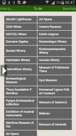
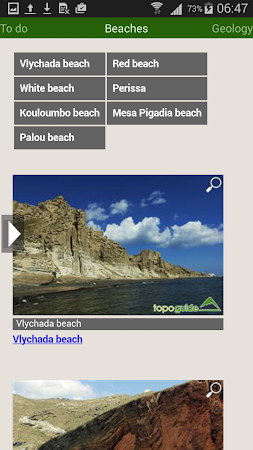

Comments